Big data. It is a popular topic in the news. Our capabilities to analyse complex global patterns in everything from finance to commodities to human behaviour have increased dramatically in recent years. It’s amazing what scientists can now do with data. From tracking the presence of fish in a river from a trace of their DNA that has been shed and remains in the water column to mapping global flows in water footprints which arise from trade in irrigated crops.
At a time of unprecedented concern about climate change & natural resources, it’s great to see big data being applied to grand sustainability challenges in this way.
Given all this data, and in light of the grand challenge of securing water supplies for billions of people, farmers and business around the world, you might think that we have all the data we need to understand what’s happening to our rivers, aquifers and water supplies?
Er, no.
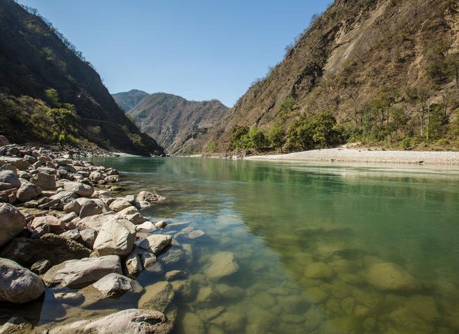
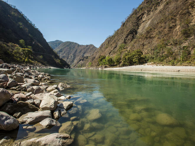
Here at the 2016 River Symposium in Delhi, as in other recent international meetings we have heard debates about the need for more data so that we can understand and manage water. In projects that WWF is involved with around the world, we also often struggle to obtain spatially explicit water quality, flows and other water-related data.
Without understanding the basic condition of rivers and other water bodies, the job of managing this precious resource becomes even harder.
One specific data gap relates to dams. WWF and its partners in civil society and the research community have embarked on a project to understand the extent of the world’s remaining free-flowing rivers. To do this, we need to know where the world’s existing dams are.
We know that there are tens of thousands of large dams. (A commonly cited statistic, drawing on a list held by the International Commission on Large Dams or ICOLD, is that there are more than 50,000 large dams around the world.) But even though large dams are costly, often controversial and, simply, very big, we lack a robust, spatially explicit database of all large dams around the world. The most useful databases that we’ve found – ones which provide geographically explicit data – provide locations of less than half of the dams on the ICOLD list.
Small dams even are an even bigger challenge. We think that there are hundreds of thousands – perhaps even millions – of these globally but no-one has succeeded to locate them on a map.
Dams play a critical role in water resource management and electricity generation and, generally, they have a huge impact on freshwater biodiversity and sometimes on local communities. Surely it’s time for a consolidated research effort to provide big data on dams.
So here’s a call to action – in these days of remote sensing, citizen science and social media, might it be possible for major donors, policy makers to come together with earth system scientists and hydrologists to fund, compile and maintain a consistent, accessible and robust geo-referenced database for major water infrastructure.
Enviroshop is maintained by dedicated NetSys Interactive Inc. owners & employees who generously contribute their time to maintenance & editing, web design, custom programming, & website hosting for Enviroshop.